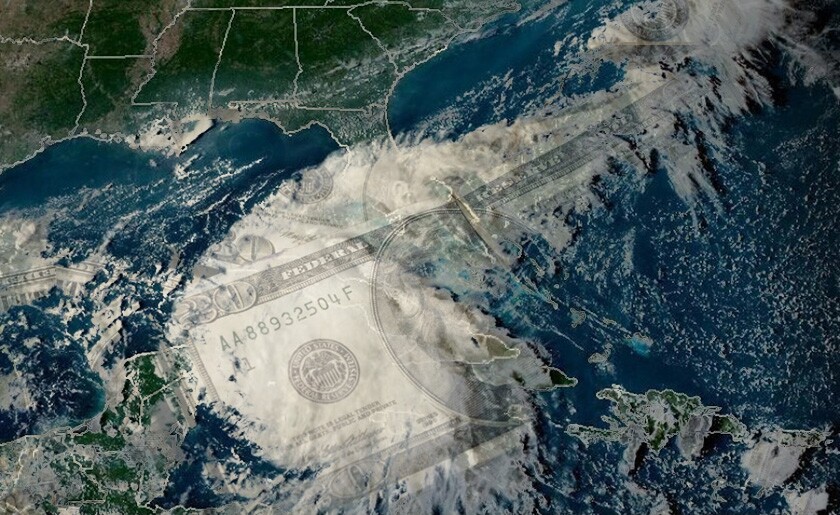
When we originally looked at forecasters’ estimates of 2023 Atlantic storm activity at the start of June, the UK Met Office was an outlier: it was the only group of experts expecting an above-average season.
Only a couple of months have passed since then but, upon reviewing those same forecasters’ updated estimates, it’s clear that almost every other expert has now joined them in predicting an above-average number of Atlantic hurricanes in 2023.
Most recently, last Thursday the US National Oceanic and Atmospheric Administration (NOAA) upped its 2023 forecast range from five to nine hurricanes (including one to four major hurricanes) to six to 11 – including two to five reaching Category 3 or higher.
Changes to the overall number of named storms forecast by the NOAA are common, given the underlying uncertainty caused by the range of factors which contribute to activity levels.
In the last couple of decades, however, it has been rare for the government agency to revise the upper bound of its specific forecast range for major hurricanes – the most damaging storms for insurers – upward.
Before 2023, the last time this happened was 2017 – when the NOAA’s estimated range for major hurricanes rose from two to four in their May forecast to two to five in their August update.
And, prior to 2017, you have to go all the way back to 2008.
In May last year, the agency initially estimated that there would be between three and six major hurricanes during the 2022 season; in August, it lowered its forecast to between three and five. By the end of the year, only three storms had reached Category 3 or higher – but September’s Hurricane Ian was enough to inflict major losses.
It is particularly notable that the NOAA has increased its 2023 estimates despite the recurrence of the El Niño phase of the El Niño-Southern Oscillation (ENSO) weather cycle in the eastern Pacific Ocean – a phenomenon which tends to depress Atlantic cyclone activity.
Earlier in the year, one of the key unknowns facing forecasts on activity levels was the extent to which the return of El Niño would be counteracted by warmer sea-surface temperatures in the Atlantic, which are generally more favourable for storm development.
The expected change in the ENSO cycle did occur in June, with the Oceanic Niño Index – which measures temperature trends in the Pacific – passing the threshold for El Niño of 0.5°C higher than average in June.
However, sea-surface temperatures in the Atlantic so far this year have stunned scientists – and appear likely to counteract the depressive impact of El Niño.
According to data published by the Copernicus Climate Change Service, the degree to which North Atlantic temperatures have exceeded expectations is effectively unprecedented in modern times.
The recorded average temperature for July 2023 was 24.2°C – more than a whole degree warmer than the average monthly figure recorded between 1991 and 2020.
This is the meteorological factor that is primarily driving the increase in forecast storm numbers as the peak of the season approaches. It also caused the NOAA to revise its forecast for the accumulated cyclone energy (ACE) index, which measures the aggregated intensity and duration of all Atlantic storms in a given season.
The median index value for the historical reference period used by the NOAA is just below 100, but current agency forecasts estimate there’s a good chance this season’s cumulative intensity could reach up to twice that level.
Other forecasters tracked by this publication – such as AccuWeather – also increased their ACE index forecasts between June and August. However, as with storm numbers back at that stage of the season, it is the UK Met Office which remains far out in front.
Its current ACE index forecast for the 2023 season goes as high as three times the NOAA’s median historical value – with the midpoint of its forecast range comfortably in excess of 200, a level not reached since 2017.
The growing concern around rising sea-surface temperatures in the Atlantic, and the expectations in turn among modellers of a higher proportion of major strength hurricanes in the near future, has been at the centre of recent debates including at the Bermuda Climate Summit earlier this summer.
As ever, the extent of the possible damage – and consequent insured losses – from even the strongest of these hypothetical storms will be determined by factors such as landfall path which even the most advanced models have no hope of predicting far ahead of time.
It’s clear though that, since we last looked at these numbers at the start of June, the odds have moved significantly against insurers.
As before, the industry will be praying that the UK’s weather service is being overly pessimistic in its outlook; if the Met Office turns out to be right once again, they could be in for a turbulent few months.


